
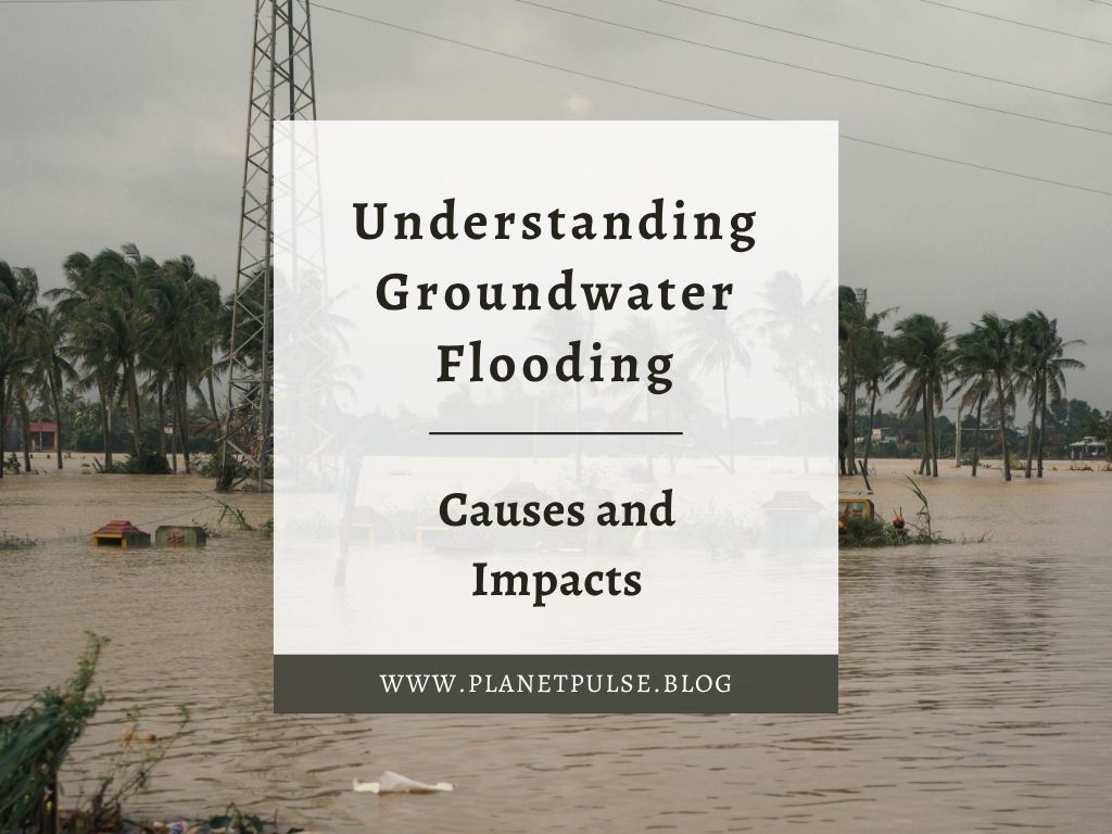
Groundwater flooding is one of the least understood types of flooding, yet it may also be the most persistent and devastating. Groundwater flooding occurs gradually beneath our feet. It can take weeks to appear, last for months and cause long-term damage to homes, transportation systems and farms.
As groundwater flooding occurs out of sight, it frequently receives far less attention than other types of floods. However, for many communities, particularly those who live above permeable rock such as chalk or sandstone, groundwater flooding is a persistent and costly issue.
This article explores how groundwater flooding works and provides an understanding of why it is essential for climate resilience, sustainable planning and community preparedness. As wetter winters become more common in the UK and other temperate regions, this hidden hazard is becoming increasingly relevant.
In this Article
What Is Groundwater Flooding?
Groundwater flooding occurs when the water table rises above the ground surface, typically after an extended period of rainfall. The water table is the highest level of groundwater held in the soil and underlying rock. When this level becomes saturated and continues to rise, water emerges to the surface, often in previously unflooded areas.
This type of flooding differs from fluvial (river) flooding and pluvial (surface water) flooding. Groundwater flooding occurs from below, rather than from rainfall or overflowing rivers. It is closely related to the behaviour of aquifers, which is the underground layers of porous rock that store and carry water. Chalk, limestone, and sandstone aquifers are especially susceptible to this occurrence because they enable huge amounts of water to permeate and accumulate.
Causes Of Groundwater Flooding
Groundwater flooding is caused by prolonged or intense rainfall, which saturates the soil. When the soil can no longer absorb water, extra rainfall seeps deeper into the ground, replenishing the aquifer. As the aquifer fills, the water table rises. This surge can last for weeks after the rain has stopped, which is why groundwater flooding frequently occurs following a storm.
In some areas, groundwater interacts with rivers and drainage systems. When river levels are high, they can slow the natural discharge of groundwater, causing the water table to rise even further. This means that low-lying valleys, depressions and areas with naturally high water tables are especially vulnerable to groundwater flooding.
Groundwater flooding is difficult to forecast and manage since it occurs over time. Communities may feel the worst of the weather is over, only to be flooded days or weeks later. Moreover, once groundwater reaches the surface, it can stay there for months because there is no quick method to discharge it.
Geological Factors
Geology has an important part in deciding where groundwater flooding occurs. Permeable rocks like chalk, limestone and sandstone act as huge sponges, absorbing and storing water during wet weather. These rocks have a high porosity and permeability, which allows water to pass through them readily. When they become saturated, the stored water starts to rise to the surface.
Moreover, topography also matters. This is because valleys, dips and low-lying basins frequently lay above shallow water tables, making them ideal emergence zones during wet winters. Even little variations in elevation can determine whether a property is at risk of groundwater flooding.
Seasonal Factors
Seasonal patterns are another important aspect. In the UK, groundwater levels normally rise during the winter when vegetation is dormant and evapotranspiration is low. This means that more rainfall enters the ground rather than being absorbed by plants. Snowmelt in colder regions can also help to recharge groundwater quickly.
Climate change exacerbates these seasonal constraints. Wetter winters, more powerful rainfall episodes and extended periods of soil saturation all increase the risk of groundwater flooding. While the changes may be gradual, the long-term trend indicates rising groundwater levels and more frequent emergence events.
The Impacts of Groundwater Flooding
Groundwater flooding can have severe and long-lasting impacts on individuals, businesses and communities because in groundwater flooding water rises and drains slowly, which means communities may experience months of interruption.
Buildings are especially vulnerable as groundwater can seep into basements, foundations and floors, creating dampness, moulding as well as structural damage. Unlike surface water flooding, where water can be pumped away, groundwater continues to rise until the water table naturally declines.
Transportation networks also suffer as roads may get waterlogged or experience “road heave” as saturated soils expand. Also, railways built on permeable ground may experience instability, resulting in speed restrictions or closures. These disruptions last significantly longer than those induced by storm-related flooding.
Furthermore, high groundwater levels can penetrate sewers, overload drainage systems and raise the danger of contamination. In addition, waterlogged soils can damage underground cables and pipelines, increasing repair expenses.
Apart from this, the agricultural sector is also affected during groundwater flooding as waterlogged fields delay planting, reduce crop yields and limit access for machinery. This means farmers lose their crops and suffer financially.
The long duration of groundwater flooding also creates insurance complications. Some policies may not fully cover groundwater-related damage, leaving homeowners and businesses with significant financial burdens.
Monitoring Groundwater Levels
As groundwater flooding develops slowly, monitoring is essential for early warning and preparedness. Many countries, like the UK, have national groundwater monitoring networks that measure water levels using boreholes and piezometers. These devices provide constant information about how aquifers react to rainfall, seasonal variations and long-term climatic patterns.
This data is used by environmental agencies and geological surveys to model groundwater behaviour and deliver flood warnings as needed. Forecasting groundwater floods is difficult, but developments in hydrological modelling are increasing accuracy.
Communities can monitor groundwater emergence points, follow rising water in wells or cellars and report any changes to local authorities. Citizen scientific programs are becoming more valuable in locations where official surveillance is restricted.
Mitigation and Management Strategies
Groundwater flooding can be managed through a combination of engineering solutions, land-use planning and community preparedness. Because groundwater behaves differently than surface water, typical flood protections such as walls and barriers are frequently useless.
Engineering solutions may include enhanced drainage systems, sump pumps and groundwater management methods to channel or regulate rising water. New structures in high-risk areas can be constructed to be groundwater resilient by incorporating raised foundations, waterproof membranes and covered basements.
Land-use planning is important as avoiding development in groundwater emerging zones lowers long-term risks of groundwater flooding. Planning policies might include groundwater flood maps and compel developers to evaluate subsurface water concerns prior to development.
Nature-based solutions also provide benefits as by restoring wetlands, improving soil structure and increasing vegetation cover can improve natural water storage while slowing groundwater recharge. These measures promote biodiversity while mitigating flood danger.
At the community level, preparedness measures including as property protection, long-term adaptation planning and awareness campaigns assist communities in understanding and managing the hazards.
Conclusion
Groundwater flooding may be slow and subtle, but has significant impacts. As climate patterns change and winters become wetter, this previously overlooked hazard is becoming more common in many areas. Understanding how groundwater behaves, monitoring changes in aquifer levels and planning for long-term resilience are essential steps for protecting communities, infrastructure and ecosystems.


Leave a comment