

In this Article
Bangladesh, a country defined by its lush landscapes and intricate river systems, is no stranger to the annual deluge of floods. This natural phenomenon, deeply intertwined with the region’s geography, has taken on a new dimension in recent times due to a combination of climate change, deforestation, rising sea levels, and shifting rainfall patterns. In this comprehensive blog post, we’ll dissect the intricate web of factors behind the frequent flooding in Bangladesh, drawing insights from scientific studies and research.
Causes of Flooding
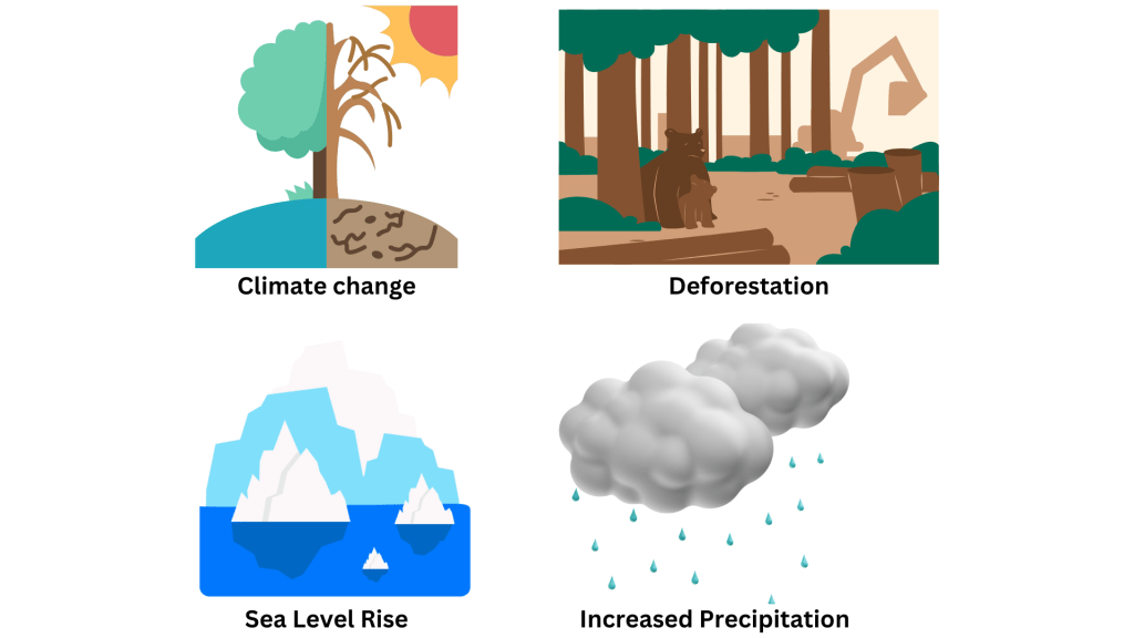
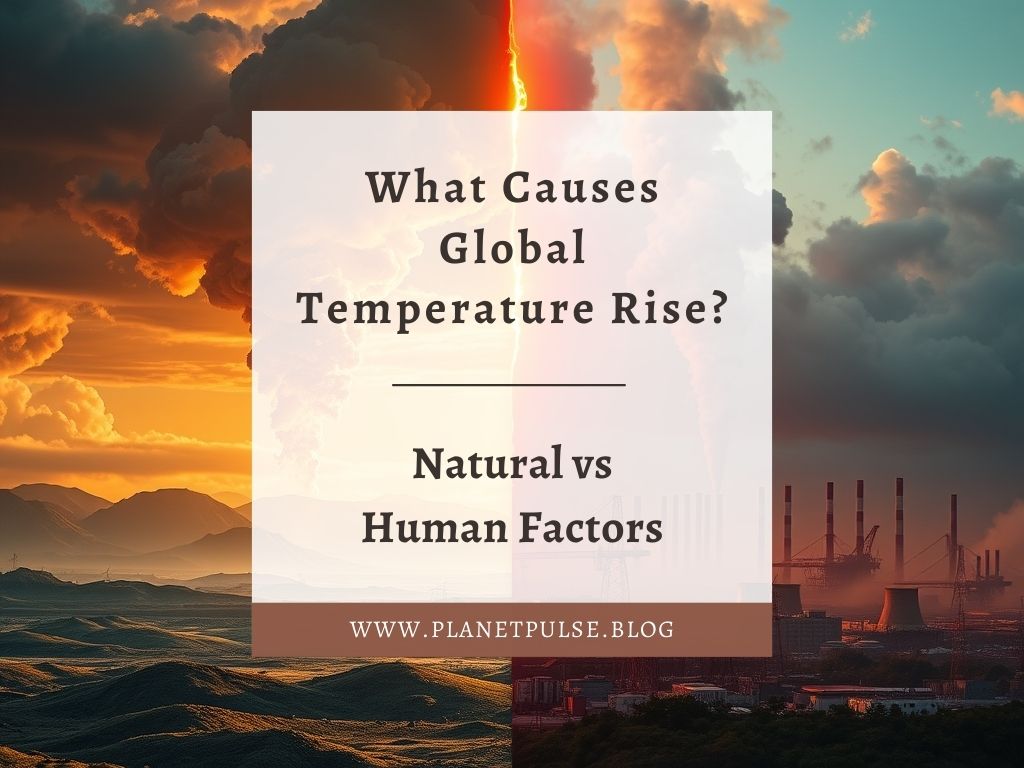
Climate Change: An Unprecedented Challenge
Climate change is not a new concept, but its impact on Bangladesh has become increasingly evident since the Industrial Revolution. The burning of fossil fuels, a key contributor to climate change, releases greenhouse gases into the atmosphere. These gases trap heat, leading to rising temperatures worldwide.
The Connection Between Climate Change and Flooding
Rising temperatures can trigger changes in weather patterns, including increased precipitation. Studies like the one by Hirabayashi et al. (2013) reveal that this uptick in rainfall has elevated flood risks in various regions. These findings highlight the pressing need for a deeper understanding of the links between climate change and flooding in Bangladesh.
Deforestation – Stripping Away Protection
Forests as Natural Guardians
Forests are often underappreciated heroes when it comes to flood prevention. They act as natural buffers, absorbing excess water and mitigating flood risks. However, deforestation is eroding this protective shield.
Evidence from Bradshaw et al. (2007)
Bradshaw et al. (2007) conducted a study that spanned a decade (1990-2000) across 56 developing countries. Their research revealed a troubling correlation between deforestation and increased flood frequency. This link accounts for over 65% of the variation in flood frequency, underscoring the critical importance of preserving forests.
Rising Seas and Coastal Vulnerability
Sea Level Rise: A Looming Threat
Climate change has led to rising sea levels, putting low-lying coastal regions in Bangladesh at constant risk of flooding. Projections indicate that by 2050, Bangladesh could lose 11% of its land, affecting millions (“Climate Displacement in Bangladesh,” 2021).
Brown et al. (2018): A Stark Warning
Brown et al. (2018) analysed the coastal areas of Bangladesh and found that even a 1.5°C temperature rise could intensify coastal flooding. Rising seas, heavy rainfall, storm surges, and erosion are combining to make flooding more intense and widespread.
Rainfall – An Unpredictable Factor
Rainfall’s Role in Flooding
Changes in rainfall patterns are another piece of the flooding puzzle. Extreme weather events, including heavy rainfall, can lead to flooding, but understanding these patterns is complex.
Shahid’s (2010) Insightful Study
Shahid (2010) examined rainfall in Bangladesh from 1958 to 2007. His research revealed a significant increase in heavy precipitation days and decreasing trends in dry days. However, the study’s age calls for updated research to fully grasp current rainfall patterns.
Various Types of Flooding
Understanding Flood Types
Bangladesh doesn’t contend with just one type of flood. Fluvial floods, flash floods, pluvial floods, and coastal floods each present unique challenges. Fluvial floods, for instance, result from heavy rainfall in catchment areas, leading to riverbank overflow.
Mapping Vulnerable Areas
Rahman et al. (2021) used advanced modeling techniques to map areas susceptible to multi-type floods in Bangladesh. Their findings indicate that a staggering 75% of the country’s land is at risk, emphasizing the urgency of proactive flood management strategies.
Flood Hazard Mapping and Preparedness
Harnessing Technology for Flood Risk Mitigation
Flood hazard mapping, driven by Geographic Information Systems (GIS) and multi-criteria analysis, is crucial for preparedness. Dash and Sar (2020) exemplify how this approach can identify flood-prone areas and support disaster management decisions.
The Path Forward
To safeguard Bangladesh’s population, robust disaster risk management strategies and adequate flood shelters are imperative. As Uddin & Matin (2021) suggest, it’s time to address the escalating risk of flooding by focusing on mitigation efforts.
Conclusion:
The causes of flooding in Bangladesh are far from simple; they are an intricate tapestry woven by climate change, deforestation, sea level rise, rainfall patterns, and various flood types. Addressing this multifaceted challenge requires continued research, concerted efforts, and global cooperation. Bangladesh, with its resilience and determination, can rise above the waters and protect both its land and its people from the devastating impacts of flooding.
Sources
Bradshaw, C., Sodhi, N., Peh, K., & Brook, B. (2007). Global evidence that deforestation amplifies flood risk and severity in the developing world. Global Change Biology, 13(11), 2379-2395. https://doi.org/10.1111/j.1365-2486.2007.01446.x
Brown, S., Nicholls, R., Lázár, A., Hornby, D., Hill, C., & Hazra, S. et al. (2018). What are the implications of sea-level rise for a 1.5, 2 and 3 °C rise in global mean temperatures in the Ganges-Brahmaputra-Meghna and other vulnerable deltas? Regional Environmental Change, 18(6), 1829-1842. https://doi.org/10.1007/s10113-018-1311-0
Climate Displacement in Bangladesh. Environmental Justice Foundation. (2021). Retrieved 27 November 2021, from https://ejfoundation.org/reports/climate-displacement-in-bangladesh#:~:text=By%202050%2C%20with%20a%20projected,exacerbated%20by%20rising%20sea%20levels.
Dash, P., & Sar, J. (2020). Identification and validation of potential flood hazard area using GIS ‐based multi‐criteria analysis and satellite data‐derived water index. Journal Of Flood Risk Management, 13(3). https://doi.org/10.1111/jfr3.12620
Hirabayashi, Y., Mahendran, R., Koirala, S., Konoshima, L., Yamazaki, D., & Watanabe, S. et al. (2013). Global flood risk under climate change. Nature Climate Change, 3(9), 816-821. https://doi.org/10.1038/nclimate1911
Rahman, M., Chen, N., Elbeltagi, A., Islam, M., Alam, M., & Pourghasemi, H. et al. (2021). Application of stacking hybrid machine learning algorithms in delineating multi-type flooding in Bangladesh. Journal Of Environmental Management, 295, 113086. https://doi.org/10.1016/j.jenvman.2021.113086
Shahid, S. (2010). Trends in extreme rainfall events of Bangladesh. Theoretical And Applied Climatology, 104(3-4), 489-499. https://doi.org/10.1007/s00704-010-0363-y Uddin, K., & Matin, M. (2021). Potential flood hazard zonation and flood shelter suitability mapping for disaster risk mitigation in Bangladesh using geospatial technology. Progress In Disaster Science, 11, 100185. https://doi.org/10.1016/j.pdisas.2021.100185


Leave a comment