
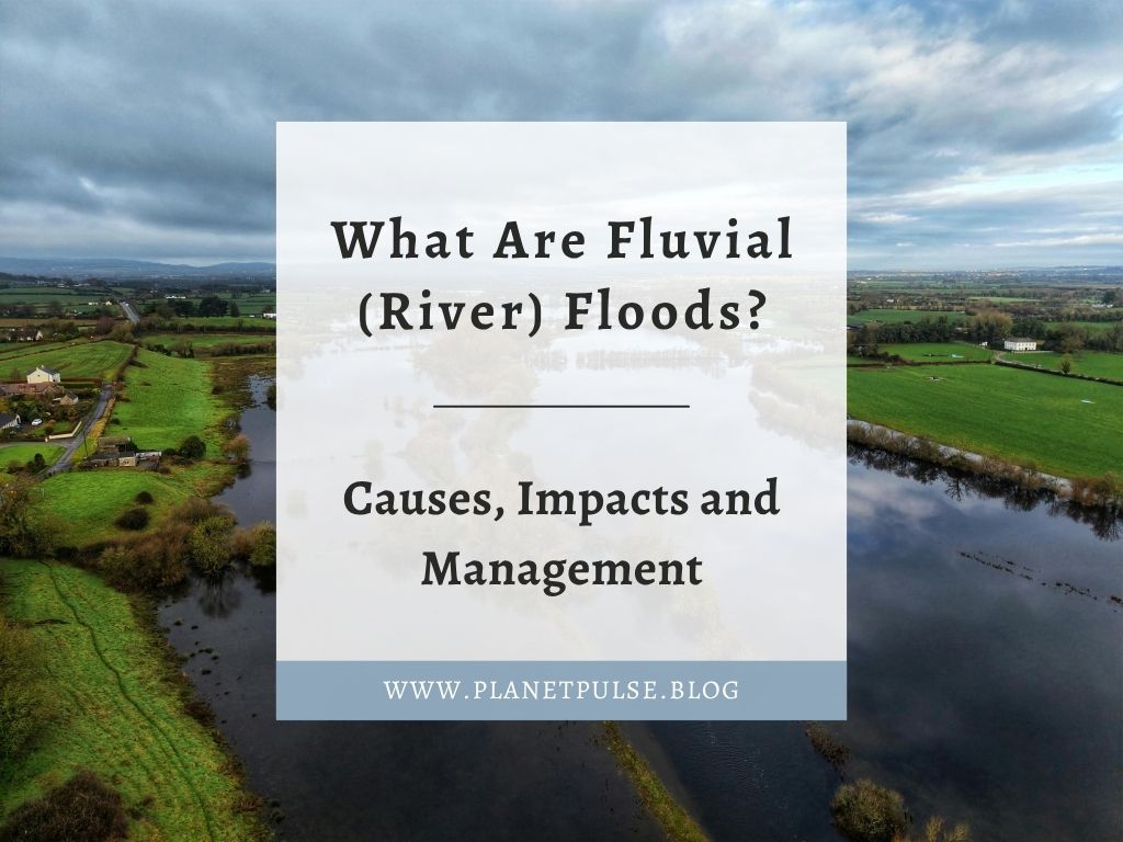
Fluvial floods, also known as river floods are one of the most familiar and widespread natural hazards. They occur when a river channel overflows and water spills onto the surrounding floodplain. Understanding how and why rivers flood is crucial for long-term planning, community resilience, and environmental preservation in the UK, where rainfall patterns are changing and catchments are becoming more urbanised.
This article examines the hydrology of river flooding, its causes, its effects on people and ecosystems and the methods implemented in the UK to reduce the risk of floods.
In this Article
What Are Fluvial (River) Floods?
When a river’s water flow surpasses the channel’s capacity, a fluvial flood occurs. Any extra water overflows the banks and disperses throughout the floodplain after the river reaches its bankfull state. Although floodplains are naturally created to hold surplus water, human expansion, climate change as well as land-use demands have increased the harm caused by these occurrences.
Moreover, coastal flooding, which is caused by storm surges or high tides and pluvial flooding, which is surface water flooding brought on by heavy rainfall, are not the same as fluvial flooding. This is because catchment-wide dynamics are what cause river floods, events upstream can have a significant impact on populations downstream.
The Hydrology Behind River Flooding
Infiltration, surface runoff and groundwater movement are all ways that rivers react to precipitation. Rainfall in a catchment causes some water to seep into the ground, some to be momentarily stored in vegetation and the remainder to flow overland into rivers and streams.
Hydrographs are frequently used by hydrologists to illustrate how a river responds to precipitation. A gently rising limb denotes slower, more controlled flow. However, a sharp rising limb and short lag time indicate a quick response, typical of urban or steep catchments. The rate at which water enters the river depends on a number of factors, including watershed geometry, vegetation cover, geology and soil saturation.
Flooding is likely when the river’s discharge rises more quickly than it can be carried downstream.
River Basin Behaviour and Catchment Characteristics
Every river basin behaves differently. Narrow valleys and high gradients in the upper stream promote quick runoff and water flow. The middle course widens to allow for more storage and meandering, while the lower course frequently has vast floodplains that naturally hold more water.
These natural processes can be interfered with by human activities. Culverts limit water flow, urban surfaces stop infiltration and channelisation accelerates flow. On the other hand, natural elements like wetlands, meanders and vegetated banks help control discharge by slowing down water flow.
Predicting and controlling flood risk requires an understanding of the behaviour of the entire catchment, not just the river channel.
Causes of Fluvial Flooding
Fluvial flooding arises from a combination of meteorological, physical as well as human factors:
- Meteorological Factors: Prolonged and intense rainfall is the main cause of fluvial flooding.
- This is because when rain falls steadily over days or weeks, soils become saturated and can no longer absorb water.
- Intense storms can also overwhelm catchments, especially in summer when convectional rainfall is more common.
- In colder regions, rapid snowmelt can release large volumes of water into rivers in a short period leading flooding.
- Physical Factors: Some landscapes are naturally more prone to flooding. For example:
- Impermeable geology such as clay prevents infiltration, while steep slopes accelerate runoff.
- Narrow valleys can funnel water quickly downstream and if soils are already saturated, even moderate rainfall can lead to flooding.
- Human Factors: Human activity often increases the risk of natural floods. For instance:
- Deforestation reduces interception and increases runoff, leading to increased flood risk.
- Agricultural practices can compact soil, reducing infiltration, increasing the risk of flooding.
- Urbanisation replaces permeable surfaces with concrete and tarmac, sending water rapidly into drainage systems and rivers.
- Even well‑intentioned drainage schemes can accelerate water transfer, increasing downstream flood peaks.
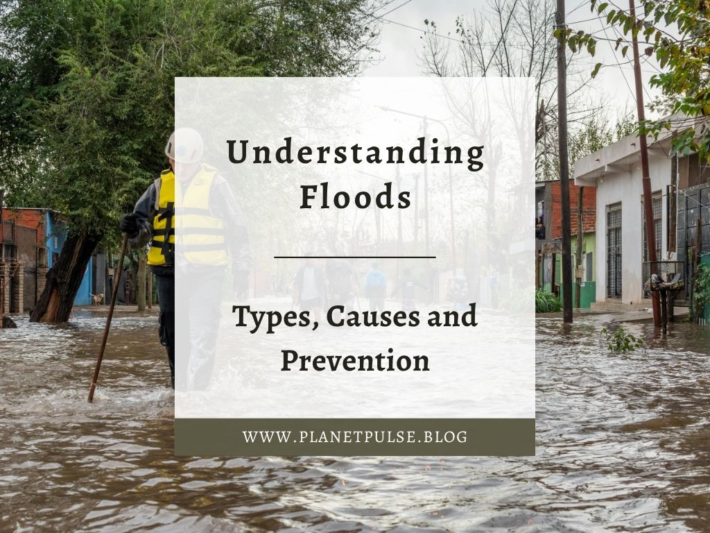
Impacts on Communities and Ecosystems
Fluvial floods can have negative consequences on both communities and our ecosystems. For example:
Social Impacts
Communities may face displacement, property damage and disruption to essential services.
Floodwater can contaminate drinking supplies, increase mould and damp in homes.
Floodwater can also pose health risks through sewage overflow.
Economic Impacts
Businesses may close temporarily or permanently and insurance claims can rise sharply.
Infrastructure such as roads, bridges and utilities can be damaged.
Recovery often takes months or years.
Environmental Impacts
Floods reshape landscapes. They can erode riverbanks, deposit sediment and alter habitats.
While some ecosystems benefit from periodic flooding, others especially those near urban areas, may suffer from pollution, debris and habitat loss.
Managing Fluvial Flood Risk
Flood management combines engineering, nature‑based solutions and community planning to prevent the risk of flooding in an area.
- Hard Engineering: Structures such as embankments, levees, flood walls and dams aim to control or contain water.
- Channel straightening can increase flow speed, reducing local flood risk but potentially increasing it downstream.
- These methods are effective but often expensive and environmentally intrusive.
- Soft or Nature Based Solutions: Modern flood management increasingly favours working with natural processes.
- Restoring floodplains allows rivers to overflow safely.
- Wetlands store water and release it slowly.
- Re‑meandering rivers reduces flow velocity.
- Afforestation improves infiltration and stabilises soils.
- These approaches enhance biodiversity while reducing flood risk.
- Community and Policy Measures: Flood forecasting and early warning systems help communities prepare.
- Land‑use planning can restrict development in high‑risk areas.
- Sustainable Drainage Systems (SuDS) mimic natural water processes in urban environments, reducing runoff and improving water quality.
- Community resilience programmes empower residents to understand and respond to flood hazards.
UK Examples of Fluvial Flooding
The UK has experienced several significant river floods in recent decades. For instance:
- The River Severn floods of 2020 followed weeks of persistent rainfall, overwhelming defences and affecting towns such as Shrewsbury and Worcester.
- Along the River Thames, long‑term management strategies including the Thames Barrier and extensive floodplain planning shows how engineering and policy can work together.
- In York, the River Ouse frequently floods due to upstream rainfall and urbanisation, prompting investment in improved defences and catchment‑wide solutions
- The Somerset Levels floods of 2014 sparked national debate about dredging, land‑use change, and the importance of long‑term resilience.
These examples highlight the complexity of managing river systems in a changing climate.
Conclusion
Fluvial flooding is a natural process, but its impacts are shaped by climate, land use and human decisions. As rainfall patterns shift and catchments become more developed, understanding river behaviour and adopting integrated flood management strategies becomes increasingly important. By combining engineering, nature‑based solutions and community planning, the UK can build resilience and reduce the risks associated with river flooding


Leave a comment